What it tells the engineer
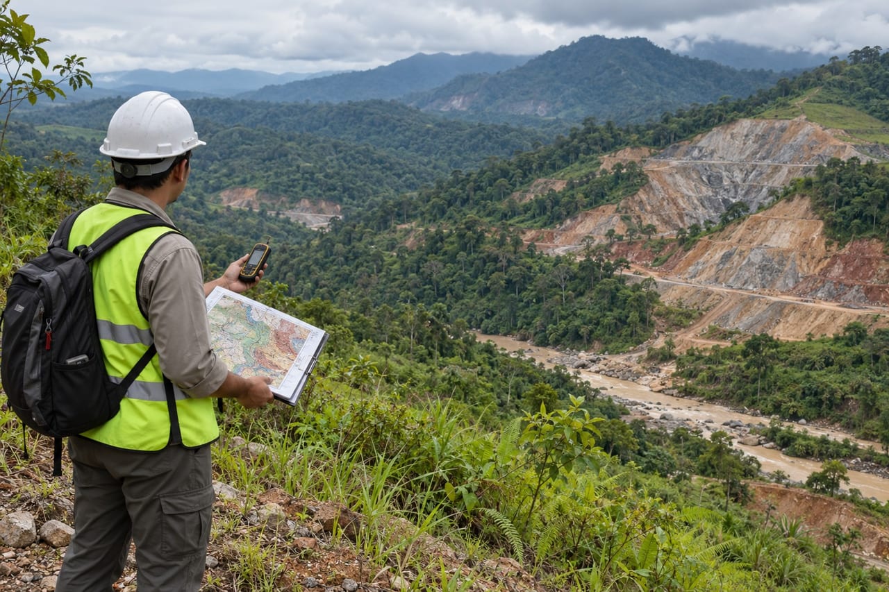
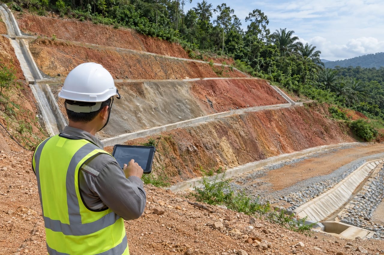
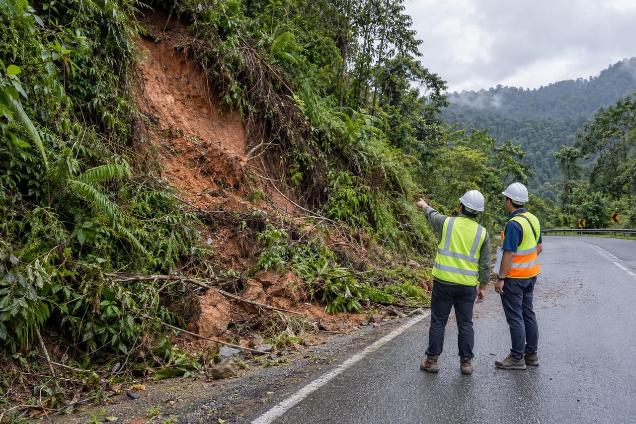
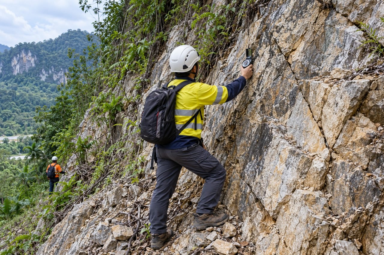
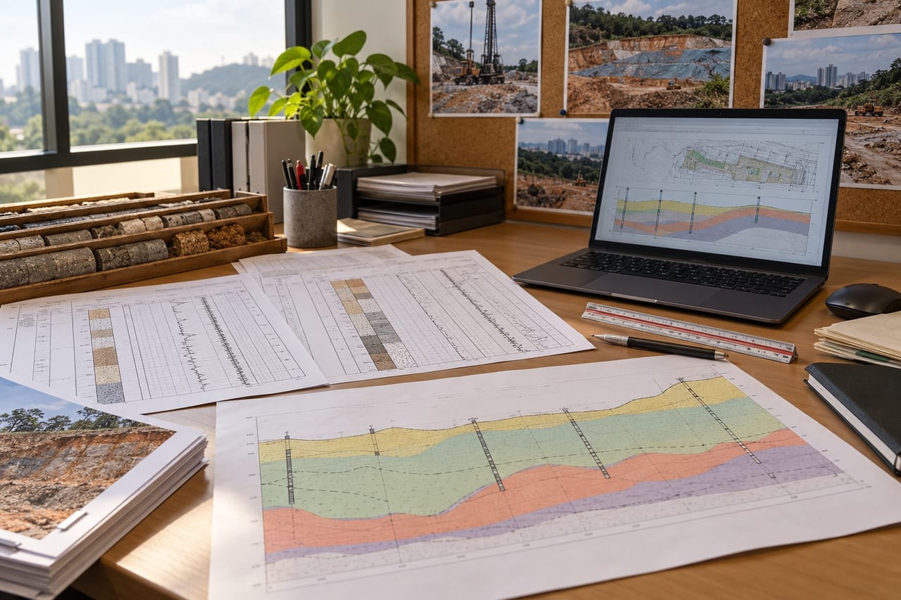
Geological work explains the ground a project sits on: terrain and slope mapping, rock mass and discontinuity mapping, kinematic and rock slope stability checks, geohazard assessment, and interpretative reports that tie the field and laboratory data into design parameters.
When it is used
Hillside and highland development, cut slopes and quarries, slope failures and forensic studies, dam and reservoir sites, and authority submissions that need a geological or geotechnical report.
How a job runs
- 1
Brief
Your site, the structure and what the design needs to know.
- 2
Plan
Test locations, methods and the reporting you need.
- 3
Fieldwork
Testing, drilling and sampling on site by our field team.
- 4
Report
Logs, plots and test results for your engineer.
Typical outputs
- Geological and terrain maps
- Slope inventory and mapping records
- Geohazard and slope stability assessment
- Geotechnical interpretative report
Questions
Who signs the reports?
Reports are prepared and endorsed by a registered professional geologist or engineer as the submission requires.