What it tells the engineer
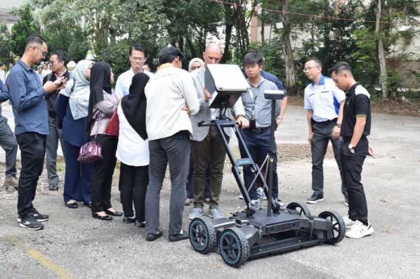
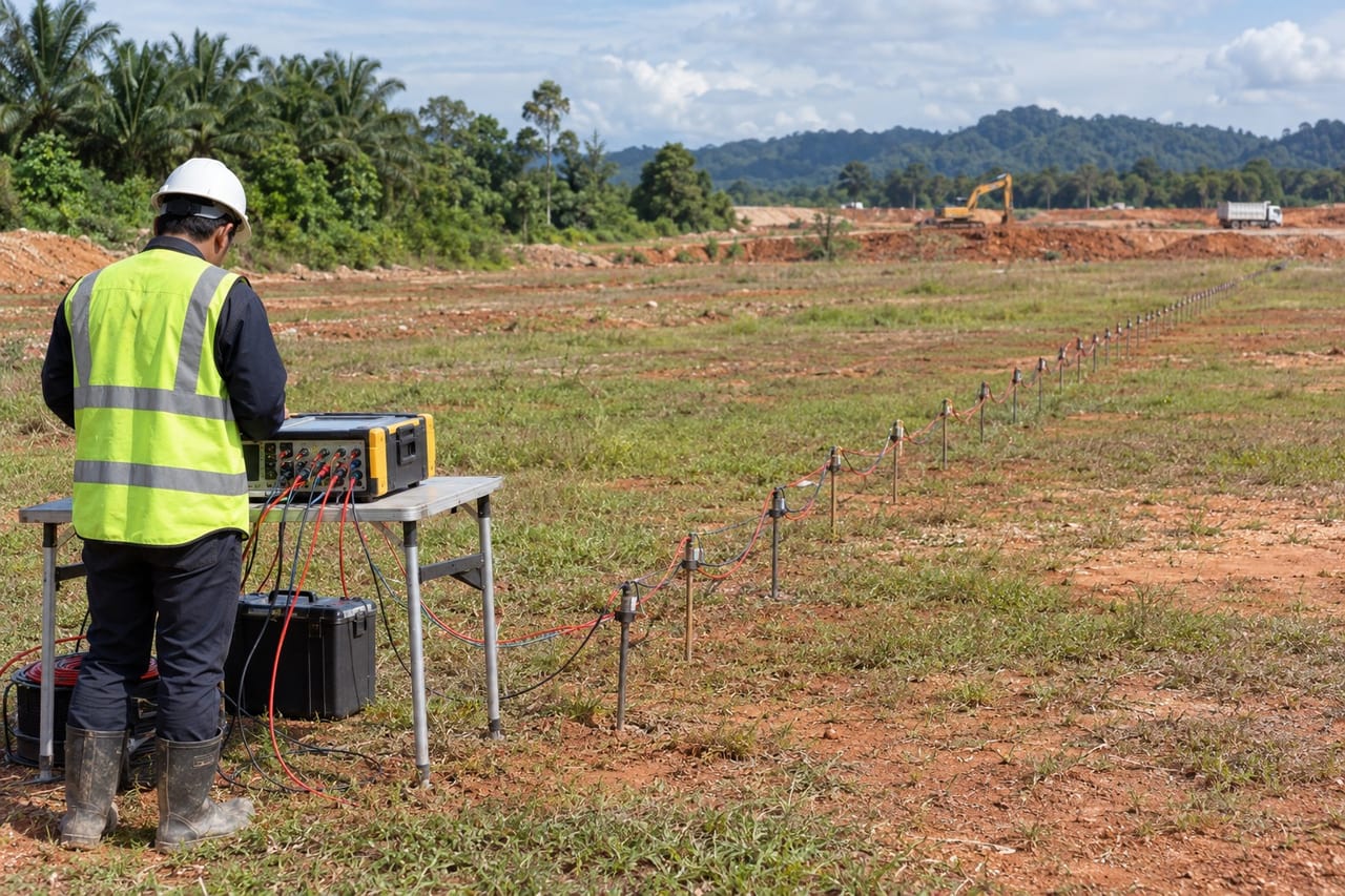
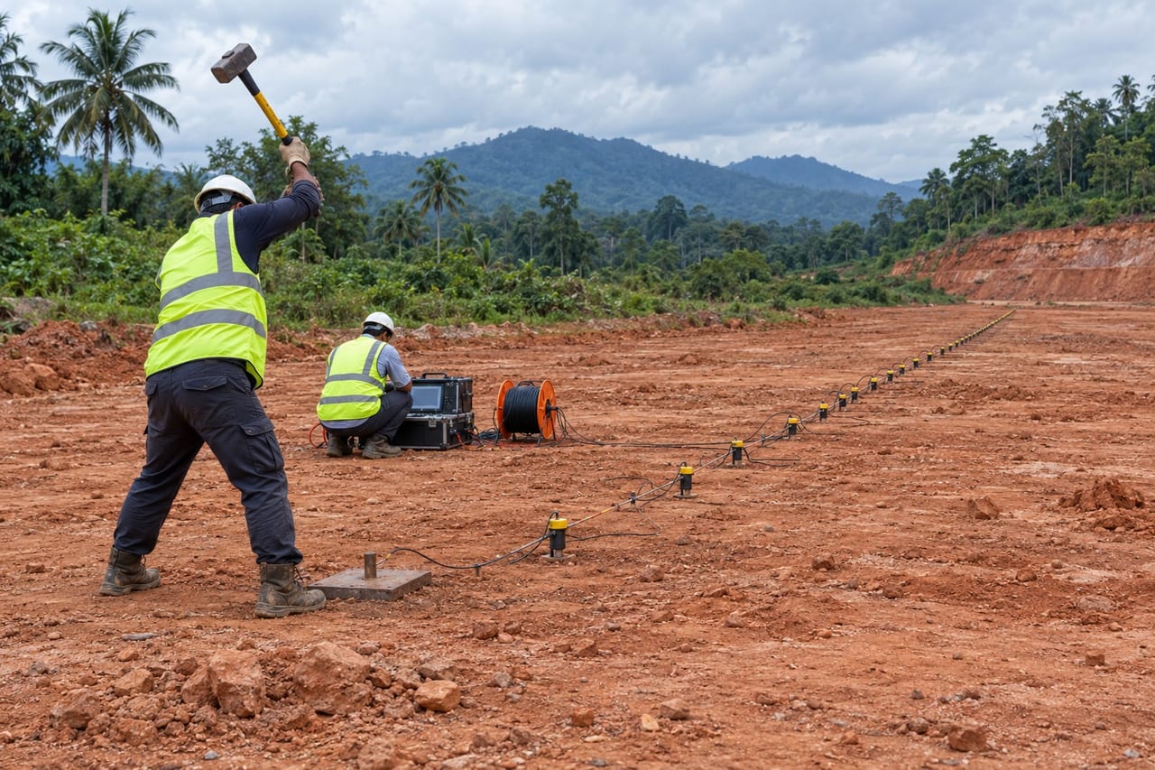
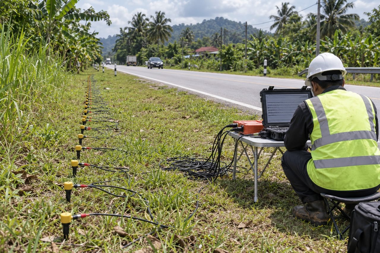
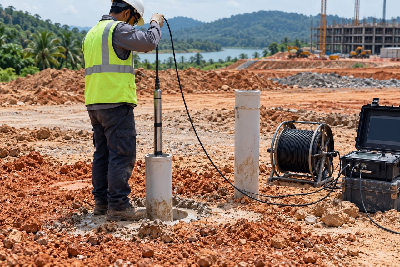
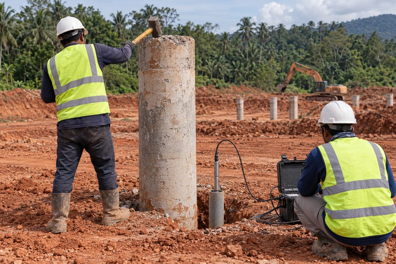
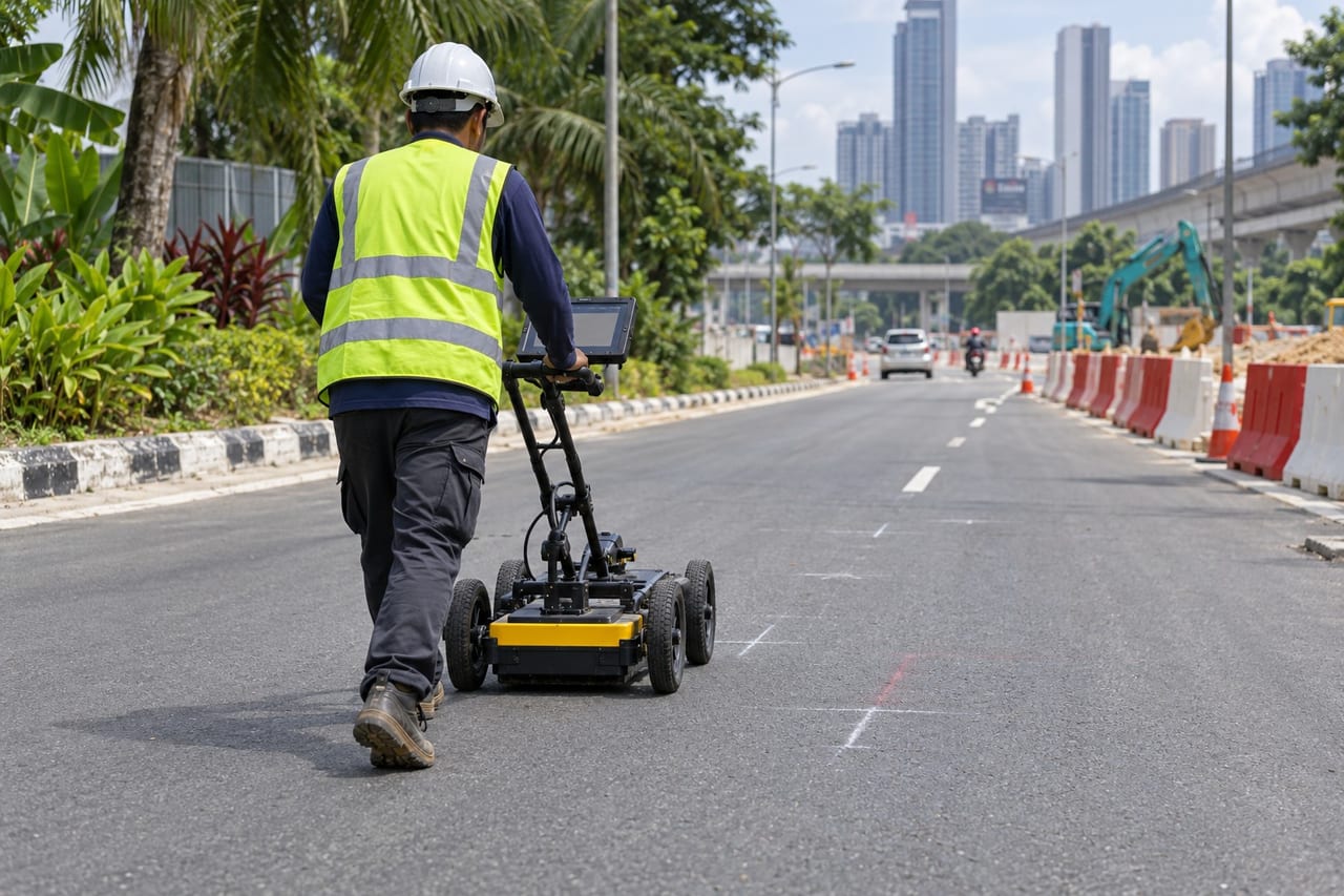
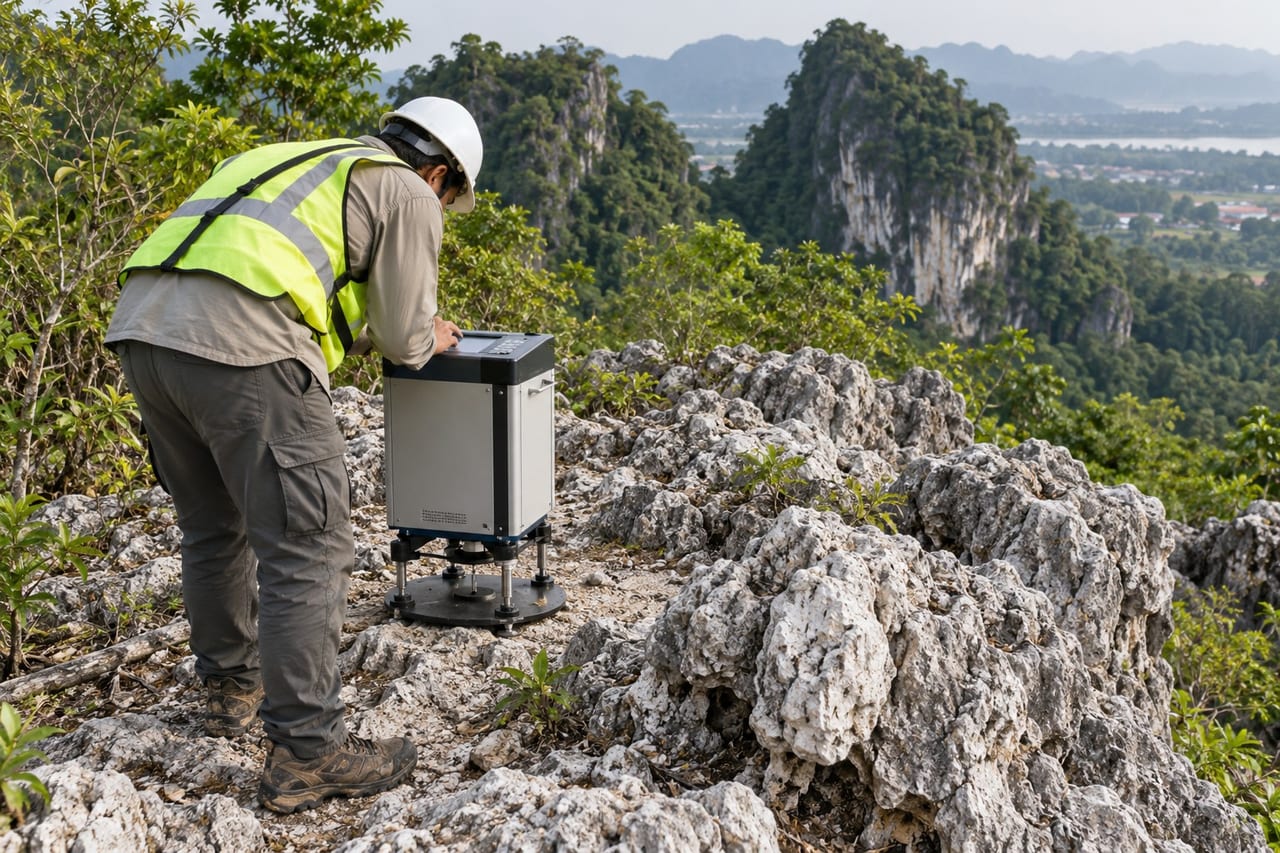
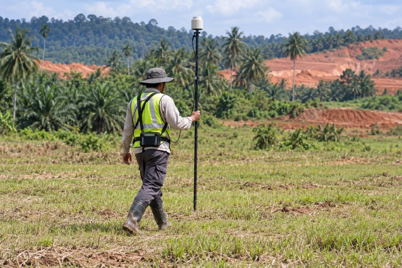
Geophysical surveys read the ground between boreholes without digging. Resistivity imaging maps layers, groundwater and weak zones; seismic refraction and MASW give rock depth and stiffness; downhole and crosshole tests give wave velocities for design; GPR, magnetic and microgravity surveys find buried utilities, voids and cavities.
When it is used
Large or linear sites before drilling, limestone and karst areas, rock-head mapping for piling, groundwater searches, slope and dam investigation, and utility detection before excavation.
How a job runs
- 1
Brief
Your site, the structure and what the design needs to know.
- 2
Plan
Test locations, methods and the reporting you need.
- 3
Fieldwork
Testing, drilling and sampling on site by our field team.
- 4
Report
Logs, plots and test results for your engineer.
Typical outputs
- Survey lines and station plans
- 2D resistivity and velocity sections
- Interpreted subsurface profiles
- Survey report with recommendations
Questions
Can geophysics replace boreholes?
No. It fills the gaps between boreholes and shows where to drill. Boreholes confirm what the survey sees.