Explore the catalogue
Choose the tests or services you need and add them to one quote request.
-
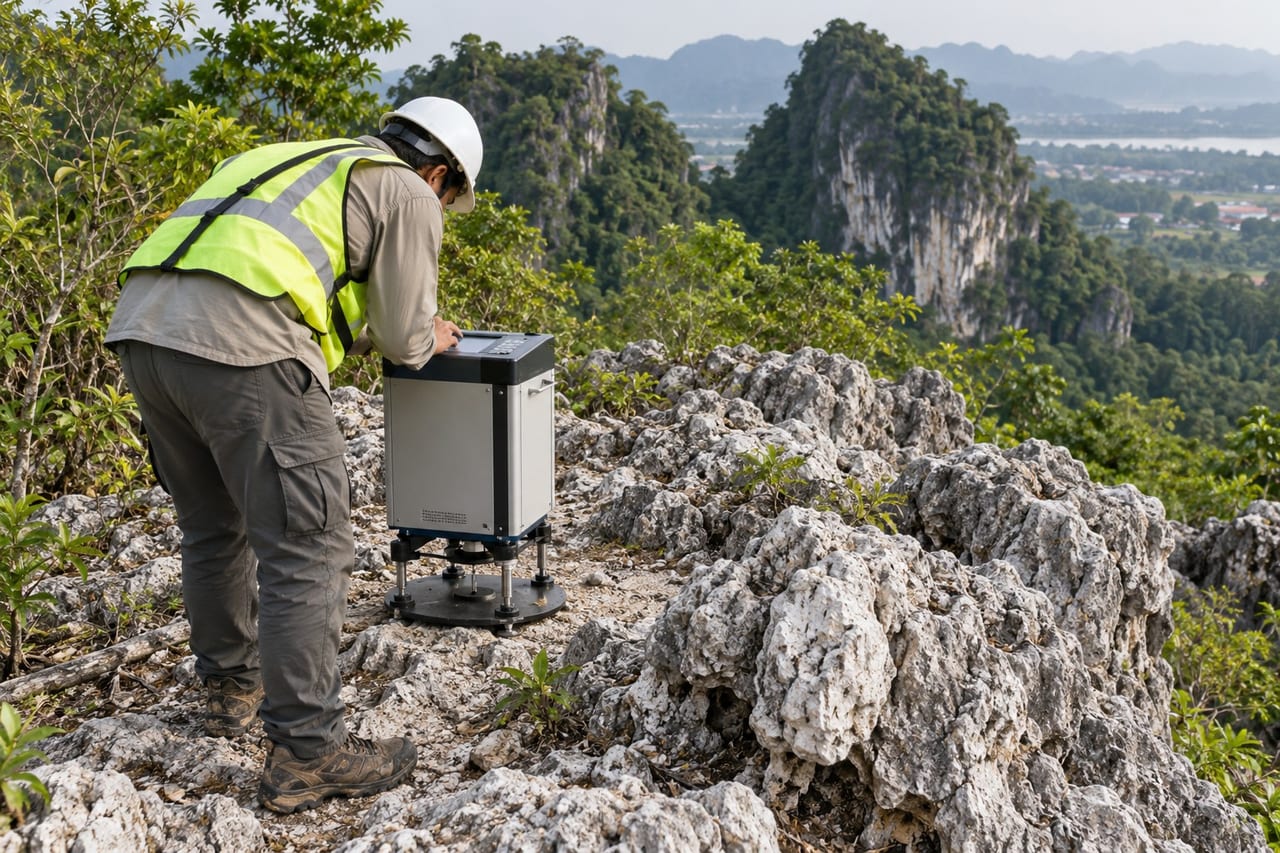
Microgravity Survey
Gravity readings to detect cavities and sinkholes in limestone ground.
-
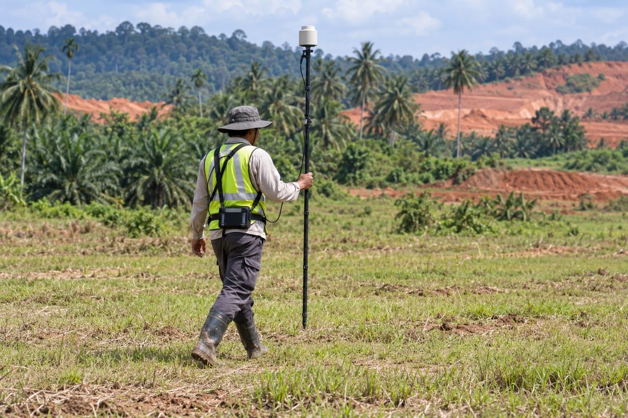
Magnetic Survey
Magnetic readings to find buried metal objects and geological contacts.
-
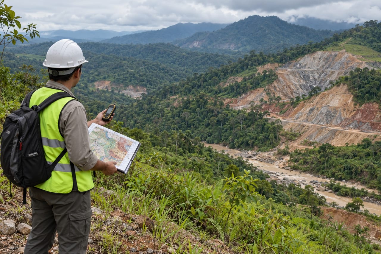
Geological Terrain Mapping (GTM)
Terrain, erosion and stability classes mapped for hillside development.
-
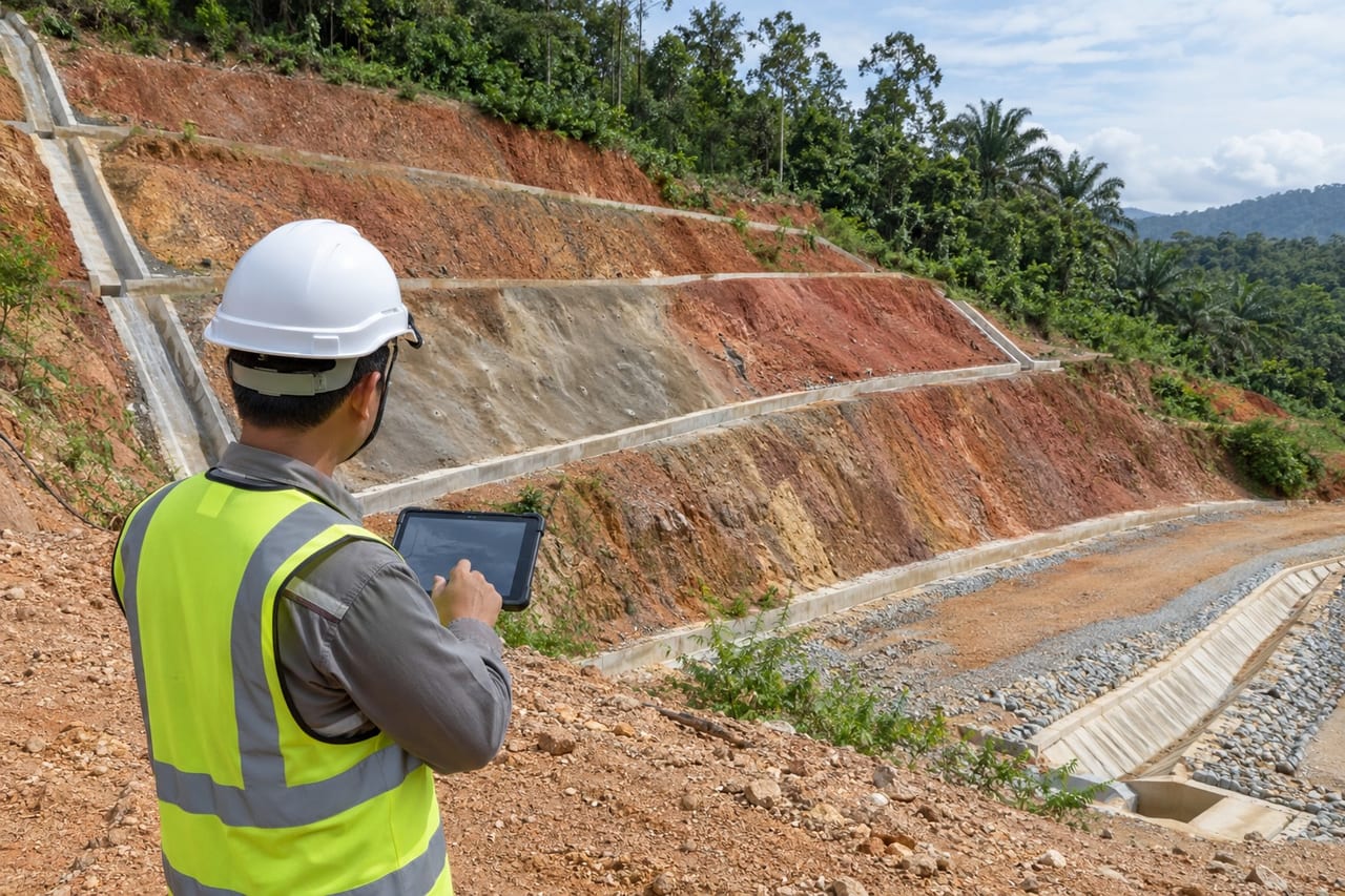
Slope Mapping and Inventory
Slope records with geometry, condition and drainage for maintenance and risk.
-
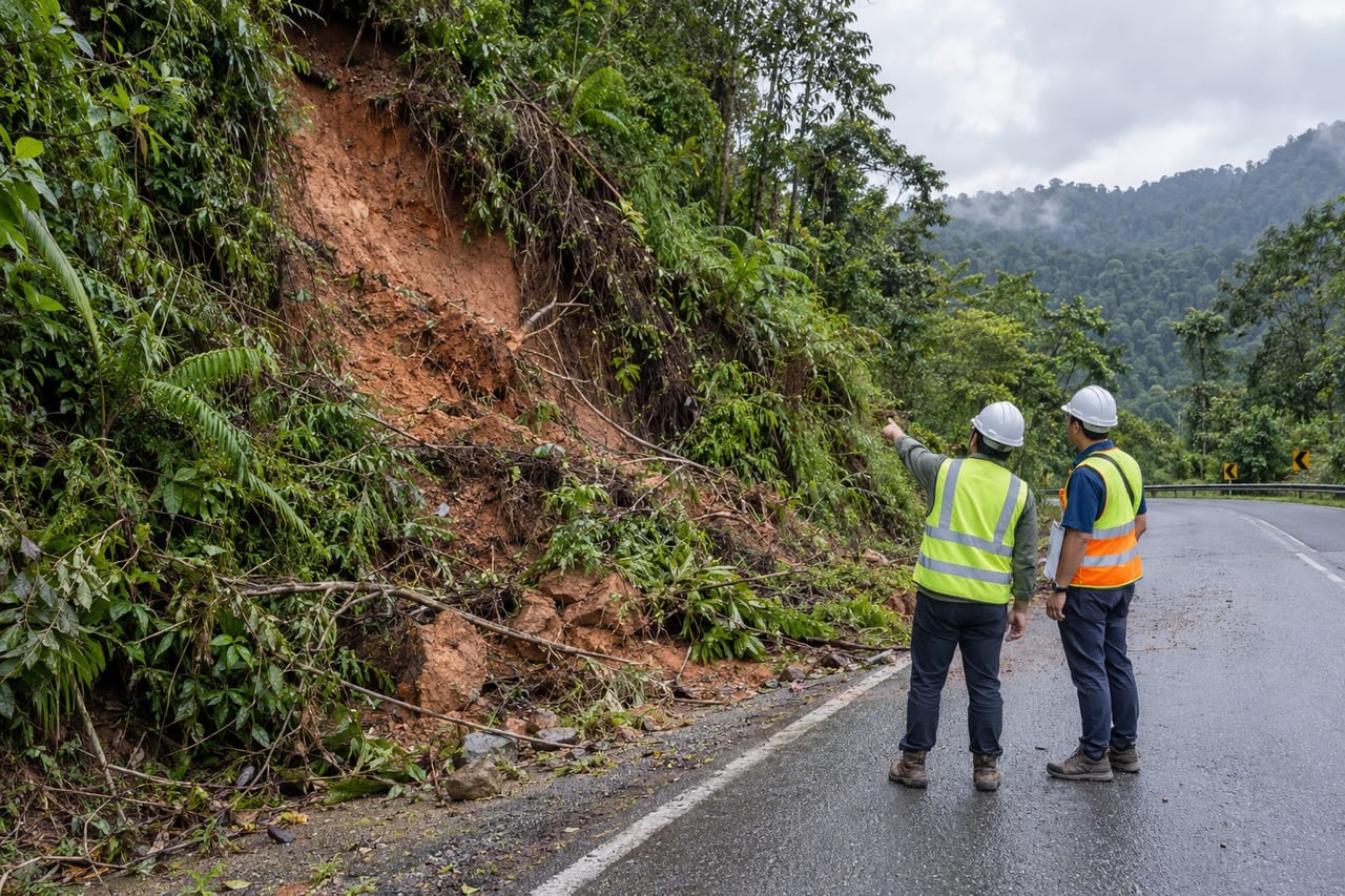
Geohazard Assessment
Landslide, sinkhole, flood and seismic hazards assessed for the site.
-
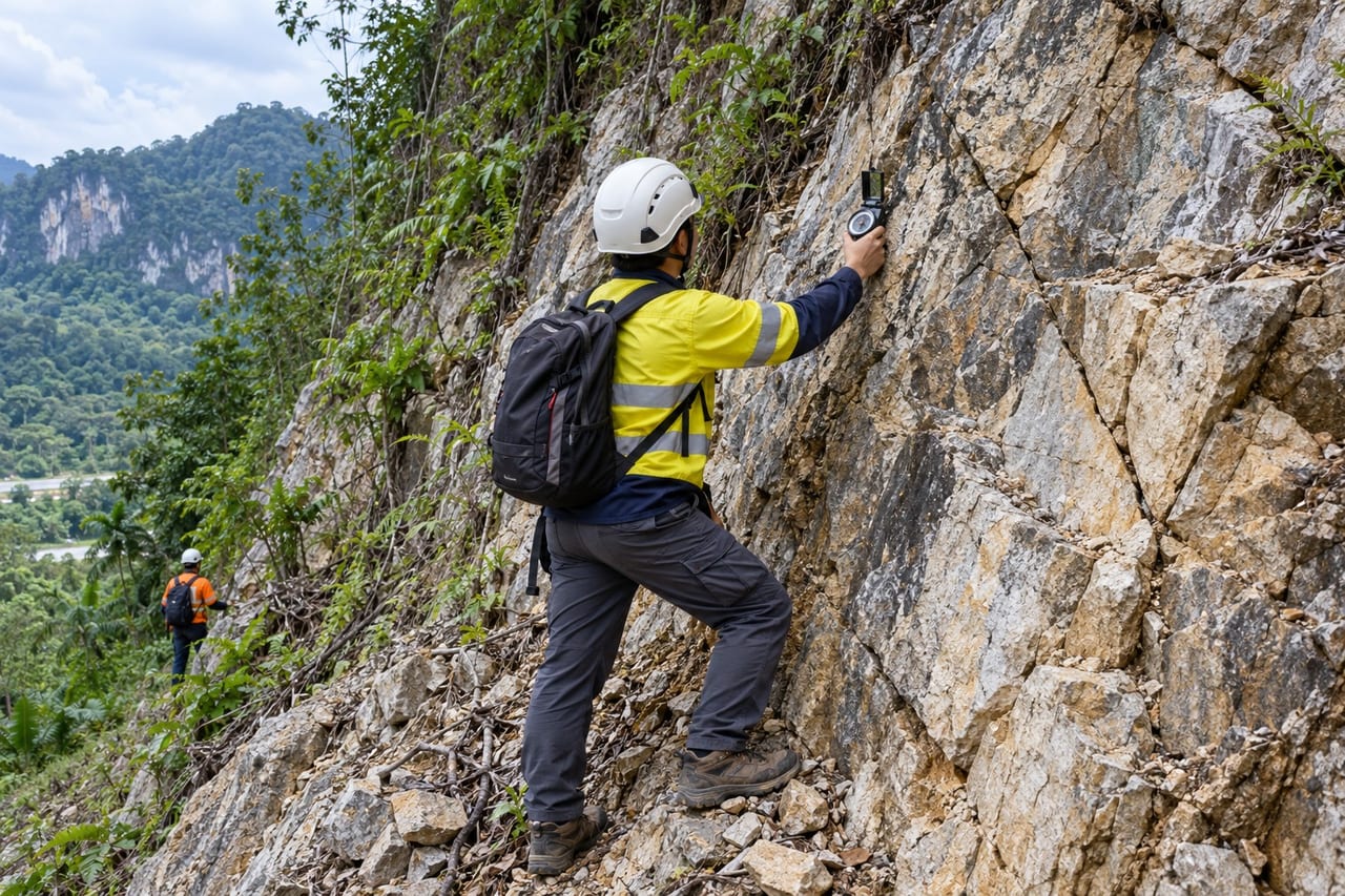
Rock Slope Stability Assessment
Discontinuity mapping and kinematic checks for cut and natural rock slopes.
-
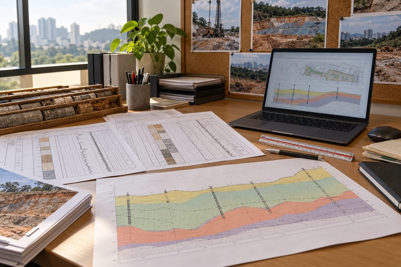
Geotechnical Interpretative Report
Field and laboratory data interpreted into design parameters and recommendations.